Field intelligence,
simplified by AI.
We build end-to-end geospatial solutions: maps, inventory systems, field workflows, and AI that turns inspections into answers and reports.
Core Capabilities
Mobile First
Built for the field. Offline-capable, GPS-aware, and designed for touch.
Computer Vision
Detect diseases, identify assets, and map anomalies automatically.
AI Agents
Smart assistants that understand your data and help route reports.
What we build
Practical systems that connect analysts, field teams and spatial data.
From data to decisions
Geospatial Solutions
- Spatial data modelling, inventory systems & dashboards
- Field data capture workflows (online/offline)
- Integrations with existing GIS stacks and APIs
- Hosting, monitoring, and handover-ready delivery
See what's in the imagery
AI Computer Vision
- Detection, segmentation, and change monitoring
- Model deployment (edge or cloud) with performance tuning
- Human-in-the-loop review for quality control
- Spatial outputs: georeferenced results accompanied by confidence scores and metadata
From inventory to insight
LLM & AI Agents
- Inventory-aware question answering ("ask your data")
- Automated report drafting with edit/approve workflows
- Knowledge bases for procedures, inventory health, compliance
- Secure, auditable, role-based access patterns
Built for crews and teams
Mobile & Web Apps
- Android + iOS apps with robust offline sync
- Web portals for administration and reporting
- GIS-first UI: maps, layers, filters, routing
- PDF exports, approvals, and shareable outputs
Featured products
Ready-to-deploy solutions you can adopt today.
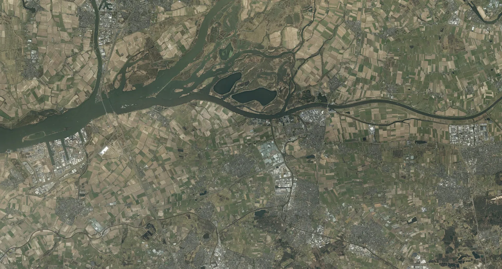
GIS-assisted object extraction
Argos
Automated object extraction for GIS and research teams. Identify objects from satellite and aerial imagery. Use text prompts or teach the model what you want to find with spatial prompts. Opt for human-in-the-loop validation for full confidence.
- Deep Learning-powered feature extraction
- Seamless integration with ArcGIS & QGIS
- Human-in-the-loop validation tools
Tree inspection platform
Boomwacht
A mobile tree inspection app for municipalities with AI disease detection, report drafting, PDF export, and an inventory-aware AI agent.
- Mobile inspections for Android + iPhone
- AI disease detection support
- AI-assisted report drafting → edit/approve → PDF
Agricultural Health Monitoring
SmartFarm
AI-powered disease detection and advisory for your farm. Detect crop diseases, get treatment plans, and track inventory health.
- Instant disease detection for crops
- Expert tree & crop care guidance
- Treatment progress tracking
Voice-first environmental reporting
EcoVoice
A mobile app for reporting issues in the field using voice, GPS, photos and AI-assisted categorisation - designed to work offline and route submissions to the right authority.
- Voice-based reporting with live transcription
- Offline-first: store reports and sync later
- GPS capture + map-based context
Geological Exploration
Mineral Prospectivity Mapper
Advanced geological data processing and analysis for mineral exploration. Detect targets like Gold and Lithium using multi-sensor fusion.
- Multi-sensor data fusion for robust and reliable results
- Automated pathfinder mineral detection
- Gold, Lithium, Copper & Iron Ore targeting
Proven in the field
Reliability, usability, and outcomes.
Municipal operations
Urban tree inspections at scale
Standardised workflows using strict protocols, AI-assisted disease notes, and one-click PDF reports improved turnaround and sharing.
Faster inspections + consistent reporting.
Environmental services
Voice-first reporting for field teams
Offline capture, GPS auto-tagging, and AI categorisation reduced incomplete submissions and sped up triage.
Lower friction, better data quality.
Spatial analytics
Object extraction for imagery workflows
Prompt-based segmentation produced GIS-ready layers with confidence scores, enabling faster review and iteration.
More polygons, less manual digitising.
Ready to upgrade your field workflows?
From custom builds to product adoption, we help you ship geospatial intelligence to the people who need it most.